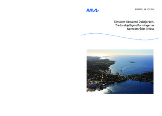
Simulert tidevann i Oslofjorden. Tre forskjellige utforminger av havneområdet i Moss
Research report
Published version
Permanent lenke
http://hdl.handle.net/11250/2504658Utgivelsesdato
2014Metadata
Vis full innførselSamlinger
Originalversjon
NIVA-rapport. Norsk institutt for vannforskning, 2014, 1-34.Sammendrag
Tidevannsstrømmen er modellert i hele Oslofjorden helt fra Oslo Havn og ut til Helgeroa og svenskegrensa, med høy horisontal oppløsning. Havmodellen FVCOM (Finite-Volume Community Ocean Model), som deler fjorden opp i trekanter med varierende størrelse, er benyttet. Denne modellen gir stor fleksibilitet når det gjelder å tilpasse modellgitteret til en komplisert kystlinje, og i å øke modellens horisontale oppløsning i områder hvor dette er nødvendig, som for eksempel i trange sund, samtidig som et stort fjordareal kan modelleres. På strekningen mellom Helgeroa og svenskegrensa er oppløsningen omtrent 800 m, mens den i Moss havn er nede i 15 m, noe som er nødvendig for å beskrive den trange Mossekanalen. Det er blitt gjennomført tre modellkjøringer hvor eneste forskjell er utformingen av Moss havn. Den ene kjøringen beskriver dagens utforming av havneområdet. I de to andre kjøringene er det lagt inn en ny containerhavn sør for ferjekaia. Tidal currents are modeled with high horizontal resolution throughout the Oslofjord from the Oslo Harbor and all the way to Helgeroa and the Swedish border. The ocean model FVCOM (Finite-Volume Community Ocean Model), which divides the fjord into triangles of varying size is used. This model offers great flexibility when adapting the model mesh to a complex coastline, and to increase the model horizontal resolution in areas where this is necessary, such as in narrow straits. Between Helgeroa and the Swedish border, the resolution is about 800 m, while in Moss Harbour it is down to 15 m, which is necessary to describe the narrow Moss Canal. Three model runs are performed where the only difference is the design of Moss Harbour. In the first run, the current design of the harbor is used. In the other runs, a new port is added south of the ferry dock. According to the model results new harbor designs will cause small changes in the circulation patterns on the opposite side of Verlebukta. The model study also shows that the Moss Canal is very important for circulation pattern in Moss Harbor. If the Moss Canal had been closed, the current strength would become considerably weaker. Note that the model is barotropic and is only driven by tide. The fresh water input through the Moss Canal is expected to have a large impact on the circulation pattern, but is not included in the model. Neither is the wind nor the waves. The actual currents are therefore expected to be stronger.
Beskrivelse
-

